cm-Level Precision and Reliability in Emergency Response Units

Global Navigation Satellite Service (GNSS) tracking is a long accepted tool for assisting in the broad range of emergency response applications (fire, ambulance, police). It is essential for ensuring correct and timely deployment of assets, as well as a tool for auditing correct performance of services. Arrival at an emergency, but missing the location by 30 feet, or 10 meters, can mean minutes of response time lost. Not having verifiable location information in an incident dispute can result in consequential liability.
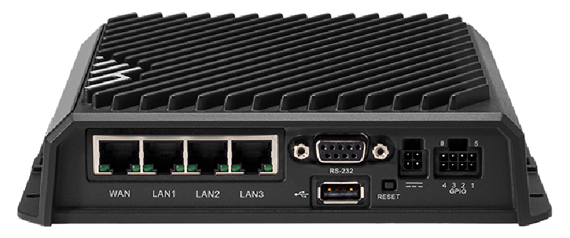
GNSS has become standard in many mobile wireless hubs used in emergency vehicles, such as the Ericsson Cradlepoint R1900 wireless router, but typical capability in these devices have the following issues:
- 3 m Circular Error Probability (CEP) (50% of reported positions are within 3 m is typical, imprecise);
- excessive inaccuracy in multi-path prone areas (deep urban canyon’s causing GNSS signal reflections); and
- loss of functionality in GNSS denied environments (under overpasses, in parkades).
“Out of the box” CEP can already put you one drive-way away from your target. Multi-path can result in you thinking you’re inside the big office tower across the road. Loss of GNSS under a bridge leaves you completely lost. The resulting bread crumb trail on a map would never be acceptable in a court of law.
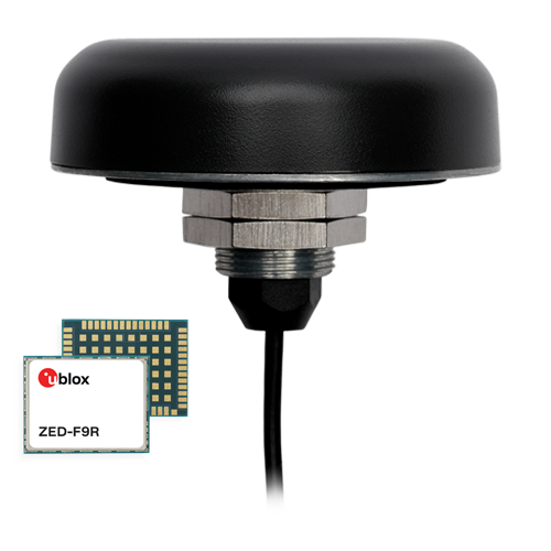
Calian’s GNSS solutions group has developed a Position Navigation and Timing appliance, a Smart GNSS Antenna, that can plug into wireless routers such as the Cradlepoint R1900 to replace the built-in last generation GNSS resource with Real Time Kinematic (RTK) and Inertial Measurement Unit (IMU) corrected positioning results that can meet sub-cm-level precision, as well as provide accurate positioning for short durations in 100% GNSS denied environments. In the real world, Calian has successfully developed a solution for the R1900 router based on the TW5386 Smart GNSS Antenna. It has the following features essential for a cm-level solution:
- Plug and Play
- USB or RS-232 to Cradlepoint R1900
- Easy modification of existing applications to replace built-in GNSS solution
- Antenna disconnect at roof for easy replacement
- Interfaces with commercial or local RTK corrections sources for cm-level precision. Calian has partnered with Swift Navigation to deploy real-world solutions
- Manages the use of IMU for significant GNSS denied operations
- Provides multiple datum translations for legacy applications that may use outdated mapping technologies
- Ericsson Cradlepoint eco-system certified

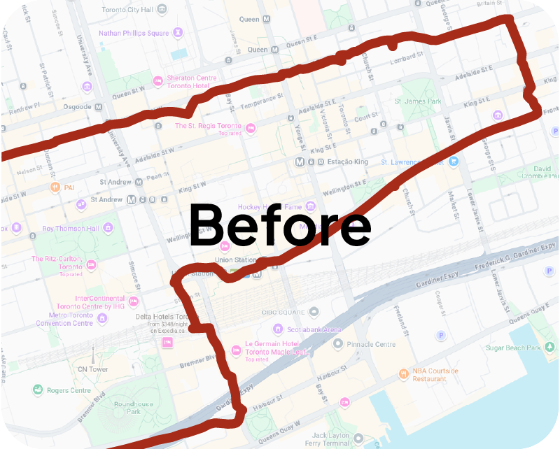
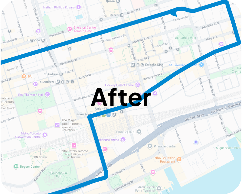
See the image below for real world results. The red line is the single-band L1 uncorrected mapping results. The Blue is Calian’s cm-level solution.